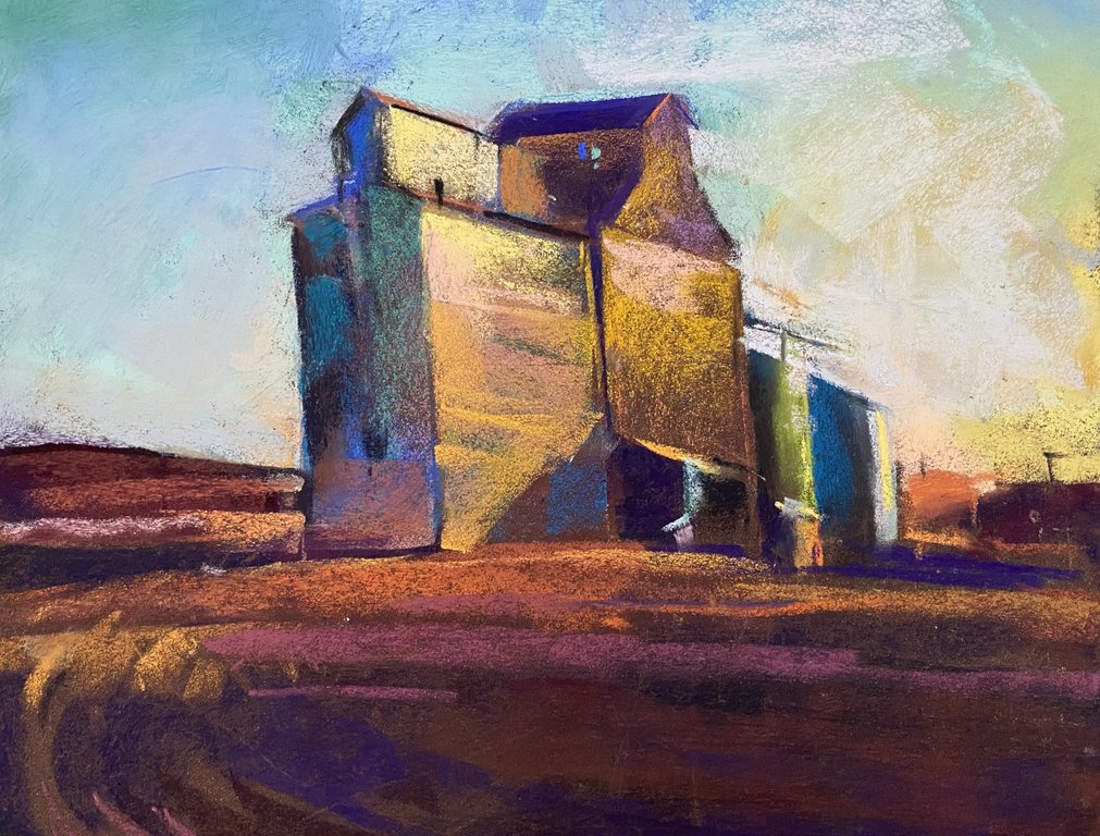
Palouse Edifice
Studio Painting from old reference studies done in the Palouse Country of eastern Washington. The land here has been formed from soil washed down at the end of the last Ice Age, 18,000 to 15,000 years ago, from an ice dam in northern Idaho, that created Glacial Lake Missoula stretching 3,000 square miles around Missoula, Montana. The dam burst and released flood waters across Washington, down the Columbia River into Oregon before reaching the Pacific Ocean. The prevailing winds blew top soil westward over tens of thousandths of years forming giant dunes that we call the Palouse. Wheat gores here like no other place on earth with these buildings acting as temporary storage during harvest. They are always a big surprise to see out there.
Of note: The deepest top soil sample in the world was recorded near Palouse, WA at 150 feet. Average top soil depths across the planet are measured in inches, not feet.
| Name | Palouse Edifice |
|---|---|
| Date Painted | Jan 05 2025 |
| Medium | Pastel |
| Dimensions | 11h x 14w in. unframed |
| Framed | No |
